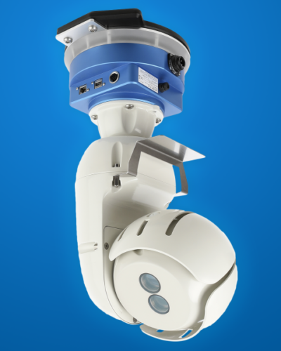
Description
System Performance
| Range | Scan750 | Scan2K | |
| Max range capability @90% reflectivity | 750 m | 2000 m | |
| Max range capability @20% reflectivity | 400 m | 976 m | |
| Laser repetition rate (peak and effective) | 200 kHz | 50 kHz |
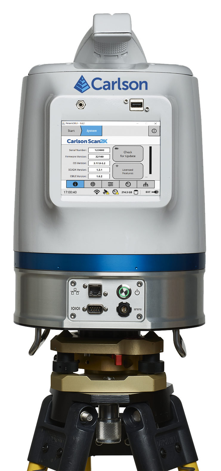
The simple, sunlight-visible, color touchscreen interface of the Carlson Scan2K
Laser
Range measurement principle Pulsed
Wavelength 1550 nm (near infrared)
Laser safety classification 12
Sample collection rate Up to 2 MHz9
Intensity recording 12 bits
Minimum range 1.5 m
Waveform digitizing technology (WFD) Yes
Number of returns recorded Up to 4 (first 2 and last 2)
Scanning Resolution
Angular measurement resolution up to 12 μrad
Max. sample density [point to point spacing] 2 mm @ 100 m
Accuracy and Repeatability
Range accuracy (1 sigma) 5 mm @ 100 m
Range resolution 2 mm7
Precision, single shot (1 sigma) 4 mm @ 100 m
Angular accuracy 80 μrad
Scanning Characteristics
Max. field of view (vertical) 120° (-45 to +70°)
Max. field of view (horizontal) 360°
Min. angular step size (vertical) 12 μrad
Min. angular step size (horizontal) 20 μrad
Additional Sensors and Features
Dual-axis inclinometer (accuracy) Up to 0.01°
GNSS receiver L1 GPS + GLONASS
External GNSS support Yes, incl. antenna mount
Compass Digital
Registration/orientation method GNSS and compass, backsighting, resection
On-board registration data Yes4
On-board target acquisition RetroID Yes
Pause while scanning Yes
Multiple scan area selection Yes, multiple ROIs3
On-board planning mode Yes
Mobile operation Yes
System Peripherals
Data storage capacity 250 GB internal SSD
Communications / Data Transfer
Wireless LAN Yes
USB connector Yes
Ethernet port Yes
Communications/data transfer 100 Mbps Ethernet, WLAN, USB
Imaging System
Internal cameras Yes
Internal camera resolution 80-Mpix panoramic image
Export format of internal camera JPEG
External camera DSLR Yes with auto trigger
White-balancing DSLR Yes
Export format of ext. camera JPEG, NEF
Power
Power supply input voltage 9 to 32-V DC
Battery type Internal, hot swappable Li-Ion batteries
Battery power 2.5 hours
Power consumption 60 W
Operation Characteristics
Operating temperature (min.)8 -20°C (-4°F)
Operating temperature (max.) +50°C (122°F)
Storage temperature -40°C to +80°C (-40°F to +176°F)
Physical Characteristics
Height 323 mm (12.7”)
Width 217 mm (8.5”)
Total weight 11.2 kg (24.6 lbs.)
Control Options
On-board display Touchscreen control, sunlight visible, 640×480, color
External user interfaces Tablet, PC
ATLAScan Software
Remote scanner control Yes
Geo-referencing Automatic
Target-free automatic alignment Yes5
Feature / primitive extraction Yes
Terrain mesh Yes
3D meshing Yes
Measurements and calculations Yes
Monitoring Yes
Automatic line features extraction Yes6
Vegetation removal Yes
1) Max range tested on flat targets, larger than the laser beam diameter,
perpendicular angle of incidence and STD Clear visibility (23 km).
2) Complies with 21 CFR 1040.10 and 1040.11 except for deviations
pursuant to Laser Notice No. 50, dated June 24, 2007.
3) Definition of multiple ROIs in a single scan is possible using ATLAScan
Control module
4) Using the on-board georeferencing functionality
5) Successful pre-registration depends on the object geometry, scanning
resolution and overlap (min. 20%) between different scanning positions.
6) Automatic line extraction for break lines of a mesh (e.g. crests and
toes of a terrain mesh).
7) Minimum distance that the Polaris is able to separate two range
measurements on objects in a similar bearing.
8) Normal operation to -10°C, extended cold temperature operation to
-20°C with Optional Optech Cold Weather package.
9) Sensor capturing capability up to 4 returns, at up to 500 kHz pulse
repetition frequency.