Description
Get the most out of your GNSS Data
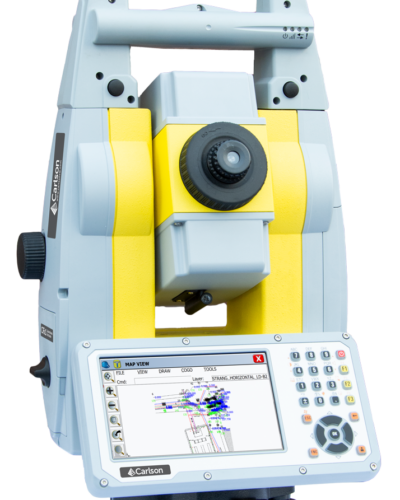
For Surveyors and positioning professionals looking to achieve centimeter accuracy when working on the edge of their RTK infrastructure, perform sub-centimeter positioning, and/or provide the highest quality assurance to their customers, Carlson Software has developed the all new Carlson SurveyGNSS post-processing program.
Carlson SurveyGNSS allows users to:
- Achieve high accuracy results in areas with limited or no real-time corrections
- Import GNSS observations from any GNSS receiver in RINEX format
- Rigorous Least Squares adjustment of all computed vectors including statistical testing
- Optimized for processing data from all 4 “major” constellations (GPS, Glonass, Galileo, BeiDou)
- SurveyGNSS can also process data from the Indian Regional Navigation Satellite System (IRNSS)
- Automated search and retrieval of SP3 precise ephemeris files as well as ionosphere model files
- Accept GNSS observations in a variety of proprietary formats
- Get intuitive user interface with tables, maps and graphs
- Improve the quality of single frequency GIS data
- Interact efficiently with Carlson SurvCE, SurvPC and Carlson office software
- Do quality control of GNSS data before export to Survey or GIS software
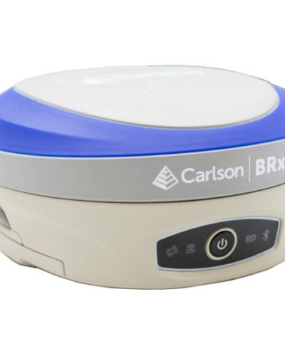
- In keeping with the Carlson hallmark of interoperability with the greatest amount of GNSS hardware, SurveyGNSS is designed to accept GNSS data from any receiver in RINEX format. Furthermore, it will also accept proprietary GNSS data in an increasing number of manufacturer formats including NovAtel, Hemisphere GNSS, Altus/Septentrio, and Javad. Additional manufacturer formats will be added in concert with manufacturer cooperation and customer demand. Carlson SurveyGNSS is developed in partnership with WaSoft of Dresden, Germany, and its proven line of GNSS software technologies.
Supported GNSS Data Formats (subject to change)
RINEX v2, v3
Carlson *.log and *.rw5
Hemisphere GNSS *.bin
Altus *.sbf
Javad *.bin
NovAtel *.log
FOIF *.f**
Leica *.m00, lb2
NVS *.nvs
Septentrio *.sbf
Sokkia *.tos, *.pdc
Topcon *.tps
Trimble *.dat, *.t**, *.r**
ublox *.ubx
OPTIONAL MODULES:
VRS Module:
Optional module SurveyGNSSVRS eliminates the need for users to operate a local base receiver to be used as a basis for computing precise positions of a moving or stationary rover. In many cases where users do not wish or do not have the ability to establish a local base receiver to be used as the basis for computing precise rover positions, the distance to operating GNSS reference stations is too far for centimeter level positioning within the short observation periods typical of ‘stop and go’ and kinematic rovers.
In such cases a user supplied local base receiver can be substituted by a Virtual Reference Station (VRS) which is computed from the observations of surrounding (actual but distant) reference stations.
With this optional module SurveyGNSS can automatically compute virtual observations from the observations of at least 3 GNSS reference stations within the Active Reference Network, thereby creating virtual local base
observations which form the basis on which to post process precise rover positions.
In case of wide area stop and go or kinematic applications, the VRS must be able to both adapt to the changing position of a moving rover receiver and be kept fixed to a reference position in order to be usable as a viable post processing reference. These requirements are fulfilled by computing a semi kinematic VRS which provides optimum reference observations for a moving rover.
PPP (Precise Point Positioning):
Raw data from any single or dual frequency phase data receiver can be used for PPP processing. There is no need for a base or reference network; the receiver can log data autonomously. Depending on observation time, centimeter-accuracy is achievable.